

Sign up to the Built Offsite Newsletter

In the “Hong Kong Smart City Blueprint 2.0” published in 2020, the Hong Kong government put forward a number of measures to capitalise on innovation and technology (I&T) and one of these is also is focused on enabling the transport of prefabricated volumetric elements.
It involves the development of a three-dimensional (3D) mobile mapping system, which, in theory will providing accurate 3D maps to support ‘smart city’ applications (prefabricated volumetric elements).
The transport of large of large volumetric prefabricated elements poses all sorts of dilemmas and difficulties when navigating through tight and constricted Hong Kong roads, and it’s envisaged the 3D mapping technology will make the job substantially easier and safer.
To address the issue, the PolyU team worked in collaboration with the Hong Kong Construction Industry Council by making use of the mobile mapping backpack to conduct accurate 3D measurement of critical narrow road sections for identifying the location of obstacles, which could optimise the route for transporting oversized components without passing through narrow road sections.
The software will also have other application as Hong Kong has 10,000 residential buildings which are at least 50 years old. Most of these old buildings do not have 3D indoor Building Information Models (BIM), which creates many challenges when it comes to reconstruction or maintenance.
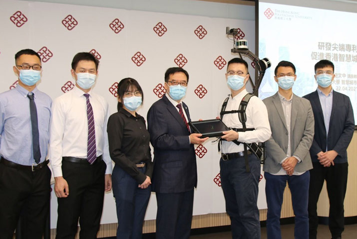
In light of this, the PolyU team has developed a lightweight and reliable 3D mobile mapping system (mobile mapping backpack), which can easily measure cities and obtain 3D maps with centimeter-level accuracy.
Click Here to return to the home page for more articles.